Sea Level Rise Has a Speed Limit: Why Marshes and Mangroves Are Racing the Tide
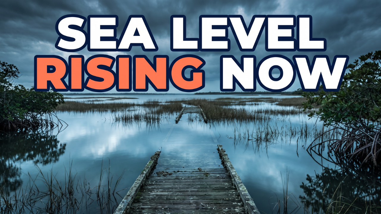
Sea level rise is a phrase everyone's supposed to be afraid of, and almost nobody can actually picture. Someone says the ocean is rising a couple of millimeters a year, and the natural response is: so what? That's not a number that means anything on its own. It turns out it should, because coastal wetlands have an exact, measured speed limit for how fast they can survive a rising sea, and the ocean is closing in on it.
How a marsh outruns the tide
Marshes and mangroves have kept pace with sea level for thousands of years using a mechanism that's easy to miss because it happens underground. A mangrove tree or a stand of marsh grass grows, and when it dies, it doesn't wash away. It settles into the soil, breaks down, and becomes more soil, compacted layer on layer until the ground itself is measurably higher than it used to be. Because these habitats sit right where salt water meets the coastline, that waterlogged, compacted soil also holds onto the nutrients the plants need, letting the whole system keep building on top of itself, year after year.
That works, right up until the sea rises faster than the soil can build. Peer-reviewed research (Saintilan et al., 2020, Science) puts that threshold at roughly 6.1 millimeters of sea level rise a year, the point past which mangroves generally can't compact soil fast enough to keep their roots above water. It's not an abstract number. NASA's own sea level data shows the global rate has already climbed from roughly 2 millimeters a year in the early 1990s (NASA's dataset specifically logs 2.1 millimeters a year in 1993) to about 4.5 millimeters a year today, nearly doubling in three decades. That gap between where we are and where marshes stop being able to keep up is shrinking, not staying safely far away.
When building up stops working
So what happens once the rate of sea level rise outpaces a marsh or mangrove's ability to build soil? They can't avoid it by going up anymore. What they can do is move. Marshes and mangroves that can't out-build the tide can shift horizontally, moving inland as the shoreline behind them floods, or in some cases shifting toward slightly warmer latitudes as killing winter freezes become less frequent. The catch is that this only works if there's somewhere for them to go. A parking lot, a seawall, or a subdivision behind a marsh blocks that second survival strategy entirely.
A refuge that's already planning for it
Maryland's Blackwater National Wildlife Refuge, on the Chesapeake Bay, is a real example of what it looks like to plan for that move instead of hoping it doesn't happen. The refuge has already lost more than 5,000 acres of marshland, nearly half its historic wetland, since it was established, and projections point to as much as three feet of sea level rise in the Chesapeake by 2100. That's not as far off as it sounds. We're already in 2026.
In 2013, refuge biologist Matt Whitbeck and colleagues published the Blackwater 2100 strategy, built on one insight: marshes have always survived rising seas by moving inland, so the job of a manager isn't to hold a fixed line, it's to clear the way for that migration. The plan identified specific corridors, roughly 2,300 potential acres along the Nanticoke River and roughly 3,600 potential acres along Coursey Creek, and it uses conservation easements, paying landowners (mostly farmers) 40 to 60 percent of their property's value, to keep that land undeveloped rather than converting it.
It's working. Roughly 812 acres are now protected along Coursey Creek and about 2,300 acres along the Nanticoke, matching the plan's original targets in that corridor. About 5,000 acres are still unprotected, so this isn't a finished story or a declared victory. Marsh migration might not always outpace the actual rate of sea level rise, and it depends on landowners who are willing to sell, or who might eventually need to develop that land anyway. But it's a real, working model, proof that giving a wetland room to move is something a community can actually plan and fund, not just hope for.
Why this matters even in millimeters
Sea level rise happens for two reasons at once: melting ice sheets and glaciers add water directly, and warmer ocean water simply takes up more space and has nowhere to go but up. Neither shows up as a dramatic single event. It shows up as millimeters, which is exactly why it's easy to dismiss and exactly why it's already reshaping marshes and mangroves right now, the same habitats this podcast covered earlier this week in the conversation with Dr. Adam Langley about the nitrogen they bury and the water they filter.
What you can actually do: if you live near the coast, look up whether a local land trust, watershed group, or coastal program works on marsh migration corridors or living shorelines, projects that give wetlands room to move inland instead of a hard seawall that blocks them, and support or follow one. On the policy side, the biggest lever is making sure land near vulnerable marsh stays soft and undeveloped rather than hardlined with concrete, since that's the decision that determines whether a marsh has anywhere to go.
Takeaways:
- Marshes and mangroves survive sea level rise by building soil upward, but peer-reviewed research puts the hard limit at roughly 6.1 millimeters of sea level rise a year (Saintilan et al., 2020, Science).
- NASA's sea level data shows the global rate has already climbed from roughly 2 millimeters a year in the early 1990s to about 4.5 millimeters a year today, nearly doubling in three decades.
- When building up can't keep pace, marshes and mangroves can move inland instead, but only if there's open land behind them to move into.
- Maryland's Blackwater National Wildlife Refuge has lost more than 5,000 acres of marsh, nearly half its historic wetland, and its 2013 "Blackwater 2100" strategy uses conservation easements to keep migration corridors open along the Nanticoke River and Coursey Creek.
- The plan is working but unfinished: roughly 812 acres are protected along Coursey Creek and 2,300 along the Nanticoke, with about 5,000 acres still unprotected.

CEO
Boat Wake Erosion Explained: The Coastal Threat With Nothing to Do With Climate Change